
Tag: Design in Geovisualization
-
Map Posters

These maps were created in the courses Design in Geovisualization and Desktop Publishing in Cartography in my third semester of CDE. As a large number of providers on the Internet prove, it is a contemporary trend to hang up map posters in your own home. The design of such maps consists often of a simple…
-
Old Map Design
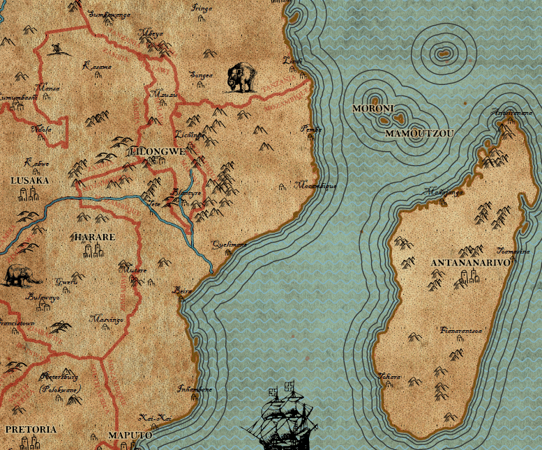
This map was created in the course Design in Geovisualization in my third semester of CDE. Following to a lecture on the history of cartography and the presentation of many old maps, an own map had to be created in the style of the vintage maps. With a given dataset of a part of Africa…
-
3D Terrain Model of Tenerife + 3D print

This model was created in the course Design in Geovisualization in my third semester of CDE. In this project I created a 3D model of the topography of the island Tenerife, which is part of the Spanish Canary Islands. I used SRTM raster height data from OpenTopography.org and created a 3D terrain model with the…
-
Bird Map of Smetanovy Sady
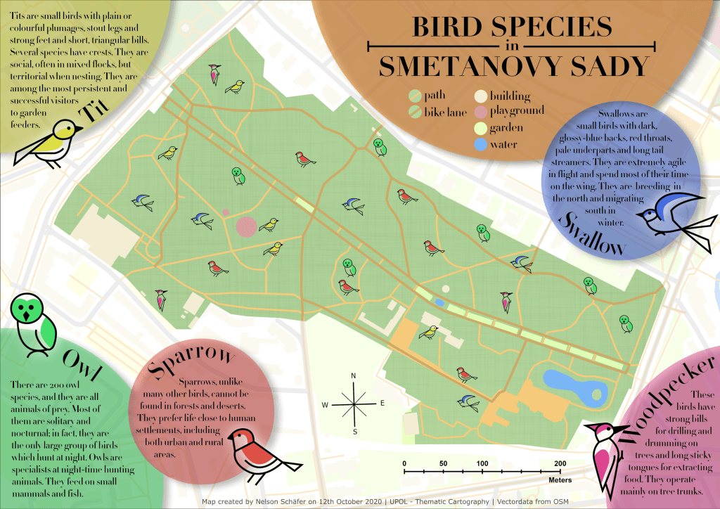
This map was created in the course Design in Geovisualization in my third semester of CDE. The idea of this project was to gain experience in designing a map that goes beyond the ordinary possibilities that are usually used in GIS software like ArcGIS Pro. For the fictional topic of bird species in a public…
