This model was created in the course Design in Geovisualization in my third semester of CDE.
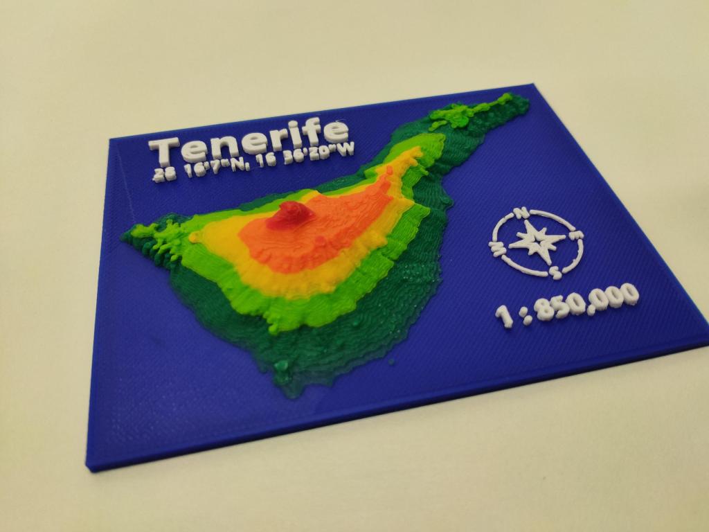
In this project I created a 3D model of the topography of the island Tenerife, which is part of the Spanish Canary Islands.
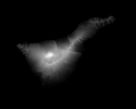
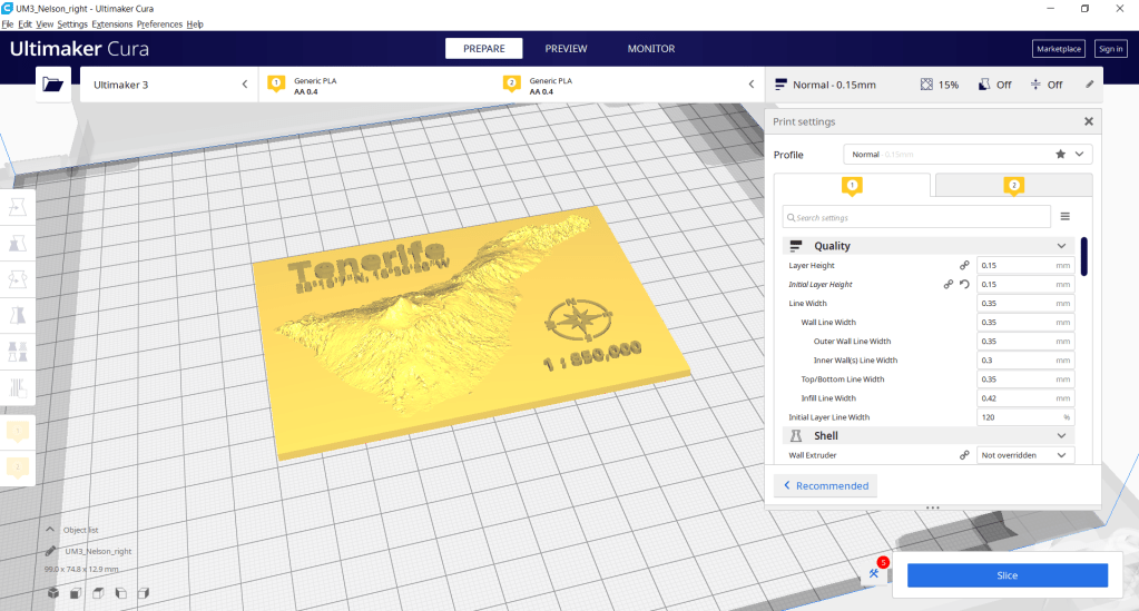
I used SRTM raster height data from OpenTopography.org and created a 3D terrain model with the QGIS Plugin DEMto3D. In the plugin the spacing, the dimensions, and the vertical exaggeration can be specified. For this area of interest I considered a vertical exaggeration of 2.5 as appropriate and generated the model.
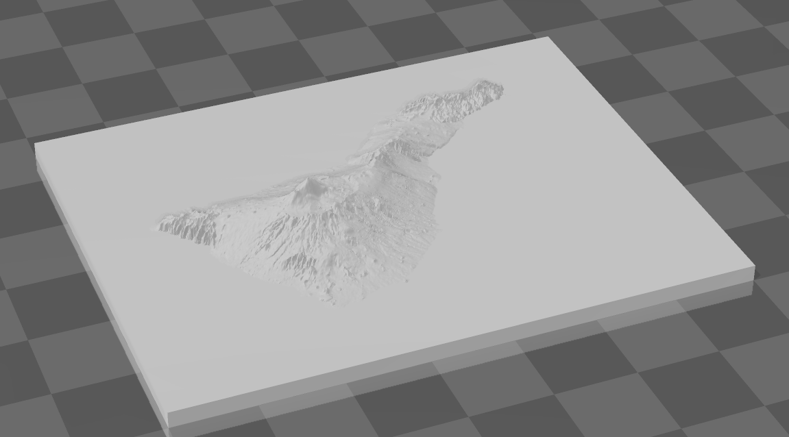
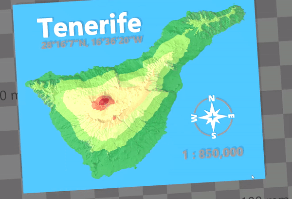
The resulting model, in the 3D-printable file format STL, was imported in 3D Builder for further editing. Here I used the split tool to divide the terrain model in 7 equal height levels including the sea level, followed by colouring of the slices. Additionally, I added text to the 3D-model by using the emboss-tool in 3D Builder. Finally I added a free STL model of a compass and after some minor editing, included it in my model.
This outcome of this process is a great way to visualize three-dimensional data as interactive models on the screen.
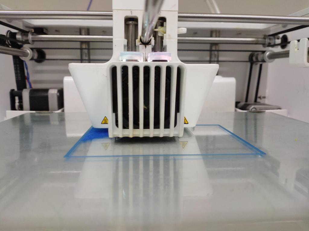
To take it one step further, a physical and more tangible 3D model can be created by using 3D printing technology. Thanks to the 3D printing laboratory at UPOL at printed version of this model was realized.
For this process the model had to be prepared in a special software. Here it got defined where the printer pauses to change the filament color and which parts of the model should be printed by which extruder.
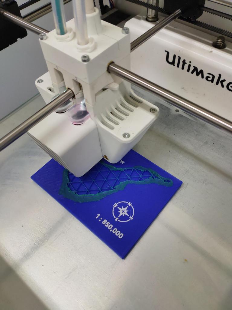
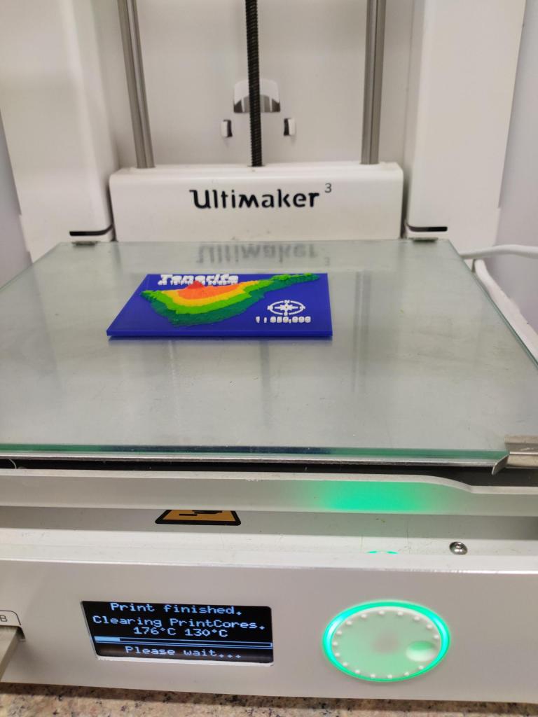
The final 3D model measures 10 x 7 centimeters and has a maximum height of 1.3 centimeters.