
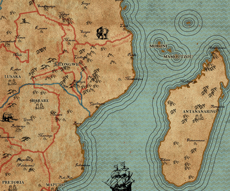
This map was created in the course Design in Geovisualization in my third semester of CDE.
Following to a lecture on the history of cartography and the presentation of many old maps, an own map had to be created in the style of the vintage maps.
With a given dataset of a part of Africa and no further restrictions or guidelines a map was designed in ArcGIS Pro. I found it challenging to recreate the look of old maps because of the neat lines and regular patterns without inaccurcies that are created by GIS softwares. But with the help of a few filters, the handmade look of the old cards could be approximated.
In addition, symbols that imitate the hand-drawn style were designed in various variations in a graphic design software in order to achieve a more unpolished and irregular symbolization.


This mapping project showed how recent datasets can be visualized in the style of old maps. It took a long time to create the symbology, but a great advantage of GIS software is that this style can be easily saved and used in other projects. This means that every data set from any part of the world can be visualized in such a style and further maps can be created in a very short time.

