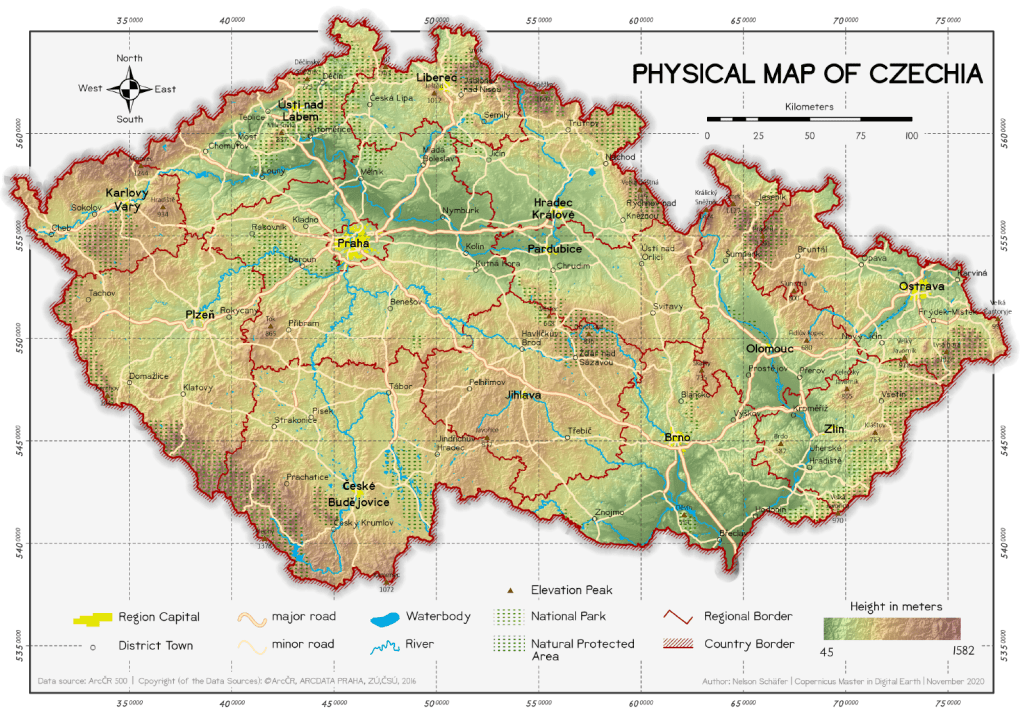
This map was created in the course Thematic Cartography in my third semester of CDE.
Physical Maps are the best way to provide an complete overview on the characteristic features of a country. The main content of this map is the topographic baselayer, describing the elevation distribution with a coloured gradient, additional hillshade and labeled peak points. Administrative boundaries, waterways, major cities and the main road network give more context to the map and increase the utility of the map. For me, the main challenge when creating such map is the choice of what features to include, especially if you don’t know the mapped country well.