This map was created in the course Geovisualization and Advanced Cartography in the first semester of CDE.
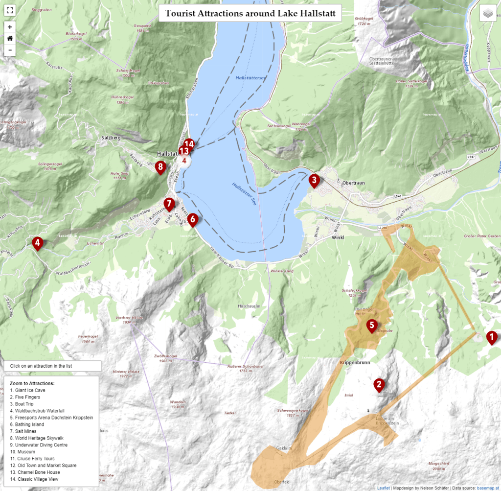
This project is a continuation of the static Tourist Map of Lake Hallstatt. The goal was to translate the information of a static map into an interactive web map application.
For creating the web map the JavaScript library Leaflet was used. The map features 14 selected tourist attractions around Lake Hallstatt as well as other vector data for ferry routes and a ski resort. Additionally, the user can switch between three basemaps. Leaflet plugins for point clustering and a fullscreen option add more value to the map.
You can try the interactive web map here.